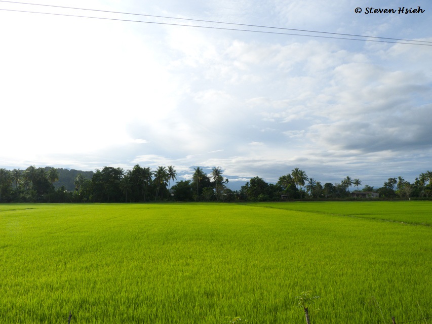
 We took a leisurely drive up towards Kudat, passing the Padi fields of Kota Belud at 7.15am this morning.
 A farmer busy spraying pesticide (I am glad he was wearing a mask at least; Does OSHA require him to wear a plastic apron?).
After Kota Belud, there were some bad stretches of broken roads before Langkon. The roads must have been under constant repairs for the past 30 years or more!
 When you see this on the overhead pedestrian bridge at Sikuati, the turn-off from the main road is not far away.
 That turn-off led to a junction ...
 ... where the brown sign said "RIGHT" and the blue sign said "LEFT"!!!
I turned left (later, I realised that the signs meant you can go either left or right to get there).
The road to the left had one stretch, for a few kilometers, of gravelled road (probably it was a road within an oil palm estate; i.e. private land). The stretch was gravelled, graded and compacted; so posed no problems.
 There was a very nice beach just before arriving at the car park of The Tip of Borneo.
 The Borneo Tip Beach Lodge was under construction (Opening Soon! it said). I was intrigued by That Round Thing to the right!!!
 Hey, It's Christmas Eve; and here were the Christmas Trees!
 This hut (named Tomanggong Kurantud - A native warrior of the area in the 1880s) marked the highest point.
 The "famous" Tong Sampah - this one had with a broken lid.
 A brilliant walkway from the car park leading to the Flagpole and Globe.
 The Flagpole and The Commemorative Globe ...
 ... The Front ...
 ... The Back (The yellow horizontal line was the Equator); "You are Here" pointed to the spot which had been either vandalised (!) or erased by the numerous visitors rubbing the spot!
 A staircase led down towards the actual headland ...
 ... nearly there ...
 ... there; The Tip of Borneo.
 Tanjung Simpang Mengayau had a lighthouse on an island just offshore ...
 ... the lighthouse (at full zoom); not very impressive as a structure (but functional I supposed).
 Two RMAF Trainers did some fly-pasts (Not because I was there!).
 There were many good photo opportunities of trees, drift wood, ...
 ... landscapes and seascapes. All together, a wonderful day out. It threatened to rain as we arrived, but cleared up to a very nice cloudy, windy and cool day.
 On the way home, we had a late lunch at Salut ...
 ... the prawn-rearing ponds.
 The restaurant was situated near the river-mouth, with the mangroves ...
 ... just a wooden functional building; serving fresh seafood.
Merry Christmas To All and
Peace on Earth
Peace on Earth


